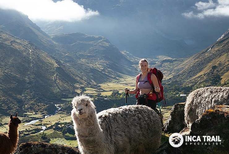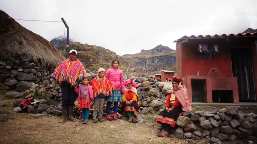
The Lares Trek is a high-altitude journey through the mountains north of Peru’s Sacred Valley. Depending on the route, hikers may cross passes between approximately 4,400 and 4,830 metres. On the Pumahuanca–Siclla Qasa itinerary used by Lares Trip, the highest point is Siclla Qasa Pass at about 4,830 metres (15,846 feet).
That elevation is higher than Cusco, Machu Picchu and the highest point of the Classic Inca Trail. Understanding the altitude profile is essential for choosing the right itinerary, preparing your body and recognizing when symptoms require action.
Lares Trek altitude: key numbers
- Pumahuanca trailhead: approximately 3,150 m / 10,335 ft
- Puyoc high camp: approximately 4,300 m / 14,108 ft
- Siclla Qasa Pass: approximately 4,830 m / 15,846 ft
- Yanacocha area: approximately 4,500 m / 14,764 ft
- Cuncani: approximately 3,800 m / 12,467 ft
- Lares: approximately 3,200–3,250 m / 10,499–10,663 ft
- Aguas Calientes: approximately 2,040 m / 6,693 ft
- Machu Picchu: approximately 2,430 m / 7,972 ft
How high is the Lares Trek?
There is no single elevation that applies to every Lares Trek. Lares is the name of a valley and a network of routes rather than one regulated trail. Operators may start in Pumahuanca, Huaran, Kiswarani, Cuncani or near the town of Lares and cross different mountain passes.
The Lares Trip itinerary follows the Pumahuanca route. It climbs to Puyoc on the first day and crosses Siclla Qasa Pass on the second day at approximately 4,830 metres. This variation is among the higher Lares routes and should be treated as a serious high-altitude trek.
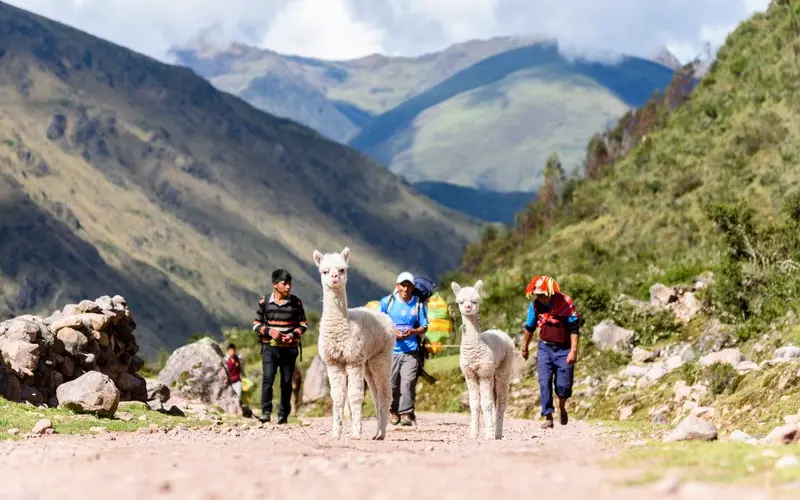
Lares Trek elevation by day
Day 1: Pumahuanca to Puyoc
The hiking section begins near Pumahuanca at roughly 3,150 metres. The route climbs steadily through the valley and reaches the high terrain around Puyoc, where the campsite is approximately 4,300 metres.
This represents a large elevation gain in one day. Hikers may feel the effects of altitude before reaching camp, particularly if they have spent little time acclimatizing in Cusco or the Sacred Valley.
Day 2: Puyoc to Siclla Qasa Pass and Cuncani
The second morning continues upward to Siclla Qasa Pass at about 4,830 metres. Breathing is noticeably harder, temperatures can be low and wind may increase near the top.
After the pass, the trail descends past high lakes toward Cuncani at approximately 3,800 metres. Symptoms often improve during the descent, but the long drop can be tiring for the knees.
Day 3: Cuncani to Lares and Aguas Calientes
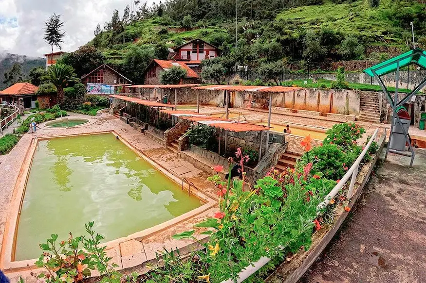
The route continues down toward the Lares Hot Springs at approximately 3,250 metres. After time in the thermal pools, travelers transfer to Ollantaytambo and take the train to Aguas Calientes, which lies much lower at approximately 2,040 metres.
Our Lares Hot Springs guide explains how to prepare for the pools and why hot water requires extra hydration at altitude.
Day 4: Machu Picchu
Machu Picchu sits at approximately 2,430 metres. Although visitors still walk on stairs and uneven stone paths, the air contains more oxygen than at the high camps and pass.
Why altitude feels difficult
Air pressure decreases as elevation rises, so each breath delivers less oxygen to the body. Your breathing and heart rate increase to compensate. Exercise that feels comfortable at sea level can become slow and tiring above 4,000 metres.
Common early symptoms include headache, reduced appetite, nausea, fatigue, light-headedness and poor sleep. These symptoms should be reported to the guide rather than hidden.
Altitude response is individual. Fitness, age and previous hiking experience do not reliably predict who will become unwell.
How many days should you acclimatize?
Spend at least two or three days at altitude before starting the Pumahuanca route. Travelers arriving directly from sea level may benefit from sleeping first in the Sacred Valley, then spending time in Cusco before departure.
A useful acclimatization schedule is:
- Day 1: arrive in the Sacred Valley, rest and take a gentle walk.
- Day 2: complete a moderate sightseeing day without exhausting exercise.
- Day 3: move to Cusco or complete a short acclimatization hike.
- Day 4: begin the trek if you feel well.
More time is sensible if you have previously experienced altitude sickness or feel unwell during the acclimatization period.
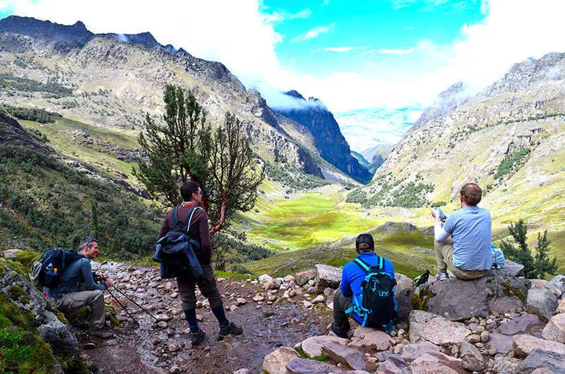
How to reduce altitude problems
- Acclimatize before the trek.
- Walk slowly from the beginning, even when you feel strong.
- Drink water regularly without forcing excessive amounts.
- Eat frequent meals and snacks.
- Avoid heavy alcohol consumption before departure.
- Keep warm and protect yourself from rain.
- Tell your guide about symptoms immediately.
- Do not continue ascending when symptoms are becoming worse.
Some travelers ask a doctor about preventive medication before traveling. Only a qualified medical professional who understands your health history should advise you about medicines and possible side effects.
When altitude sickness becomes an emergency
Mild headache and fatigue can occur during acclimatization, but worsening symptoms require attention. Warning signs include confusion, inability to walk in a straight line, severe breathlessness at rest, a persistent wet cough or unusual drowsiness.
These signs may indicate a serious altitude illness. The correct response is urgent descent and medical assistance. Oxygen can provide temporary support but does not replace descent when a person is seriously unwell.
A professional trekking team should monitor the group, carry first-aid equipment and have an evacuation plan. Never pressure a sick traveler to reach the pass for a photograph.
Lares Trek altitude vs. Inca Trail
The highest point of the Classic Inca Trail is Dead Woman’s Pass at approximately 4,215 metres. The Pumahuanca Lares route reaches roughly 615 metres higher at Siclla Qasa.
The Inca Trail has more stone stairs and archaeological sites, while Lares includes higher mountain terrain and community landscapes. Lares may feel harder on the lungs, while the Inca Trail can be harder on the knees.
Lares Trek altitude vs. Salkantay
Salkantay Pass is commonly listed around 4,630 metres, although itineraries and measurements vary. Siclla Qasa on this Lares route is slightly higher. Salkantay trips are often longer, while the Lares route reaches its maximum elevation quickly.
The difference between the two numbers is less important than acclimatization, weather, walking pace and the altitude of the camps.
What to pack for high altitude
- Warm base layers and an insulated jacket
- Waterproof shell and pack cover
- Warm hat and gloves
- Sun hat, sunglasses and high-SPF sunscreen
- Reusable water bottle
- Easy-to-eat snacks
- Trekking poles
- Personal medication
- A sleeping bag rated for cold mountain nights
Ultraviolet exposure increases at elevation, while wind can make the air feel much colder than the measured temperature. Keep both sun protection and warm layers accessible in your daypack.
Does the route descend enough for recovery?
Yes. After crossing Siclla Qasa, the route descends to Cuncani and then to Lares. The following night in Aguas Calientes is far lower than the camps. This profile allows the body to recover after the high pass.
However, the rapid ascent before the pass remains demanding. The later descent does not compensate for starting without adequate acclimatization.
Frequently asked questions
What is the highest point of the Lares Trek?
It depends on the route. On the Pumahuanca itinerary, Siclla Qasa Pass reaches approximately 4,830 metres (15,846 feet).
Is Lares higher than Cusco?
Yes. Cusco is approximately 3,400 metres, while the Puyoc camp and Siclla Qasa Pass are considerably higher.
Is Lares higher than Machu Picchu?
Yes. Machu Picchu is approximately 2,430 metres, around 2,400 metres lower than Siclla Qasa Pass.
Can altitude sickness affect fit people?
Yes. Physical fitness does not prevent altitude sickness. Acclimatization and a cautious ascent remain essential.
Should I sleep in Cusco before the trek?
Yes. Most travelers should spend at least two or three days acclimatizing in Cusco or the Sacred Valley before beginning.
Is oxygen carried on the trek?
Professional supported treks commonly carry emergency oxygen and first-aid equipment. Confirm the operator’s safety equipment and evacuation procedures before booking.
Prepare for the Lares elevation
The Lares Trek altitude should be respected, not feared. With time to acclimatize, a slow pace and professional support, prepared travelers can enjoy the pass safely and focus on the landscapes and communities that make the valley distinctive.
Read our guide to Lares Trek difficulty and training, explore the Lares, Peru travel guide, or view the complete 4-day Lares Trek itinerary.